Home » The region's water supply » Water sources » Rocky Creek Dam
In This Section
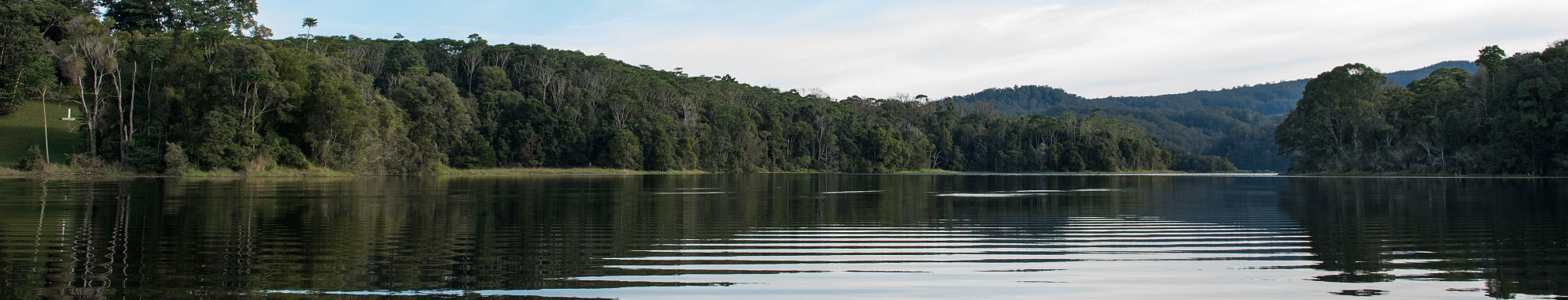
Rocky Creek Dam
Dog owners are reminded that all dogs within the Rocky Creek Dam Rainforest and Water Reserve are to be on-leash at all times.
Rocky Creek Dam is located within the Whian Whian State Forest approximately 20km north of Lismore.
Water stored in the dam is used to supply drinking water to the Northern Rivers area stretching from Woodburn in the south, north to Ocean Shores and west to Lismore. This supply is supplemented by Emigrant Creek Dam, the Wilsons River Source and several bore sites.
| Name | Rocky Creek Dam |
|---|---|
| Type | Rock fill, clay core |
| Year of completion | 1953 |
| River | Rocky Creek and Gibbergunyah Creek |
| Embankment height | 28 metres |
| Embankment length | 220 metres |
| Capacity | 14,000 megalitres |
| Catchment area | 31 km2 |
| Lake area | >200 ha |
| Historic water levels | Rocky Creek Dam levels |
| Dams safety standards | 2022 report 2023 report |
History
Construction of the dam began in 1949 and was completed in April 1953. The village of Bangalow was the first town to receive water from the dam in November 1953. For more (vintage!) information download An Account of the Rocky Creek Water Scheme 1951.
Operations
Rocky Creek Dam is the principal source of water for the Rous Regional Supply and is supplemented by Emigrant Creek Dam, the Wilsons River Source and several bore sites in Alstonville and Woodburn. These additional sources are brought on-line as the storage level in Rocky Creek Dam drops to help secure our water supply and avoid water restrictions. In 2002 the level of Rocky Creek Dam dropped to 23%.
Rocky Creek Dam has a capacity of 14,000 mega litres at full supply level which is 187 metres above sea level. This high elevation allows high pressure gravity supply to most areas within the distribution system. The dam wall is 28 metres high and 220 metres long and is made of about 80,000 tonnes of rock, soil, clay and concrete. Water is released via the spillway which is designed to discharge more than 1000 cubic meters of water per second under probable maximum flood conditions.
Nightcap Water Treatment Plant is located adjacent to the dam. The plant starts and stops based on demand from the reservoirs in our supply network. When required, water is pumped directly from the dam into the plant for treatment.
Rous County Council owns forested land in the catchment area which sits within Whian Whian State Forest. These areas provide buffer zones against potential threats to water quality and much work is done by Rous to protect these areas.
To further protect the water quality of the dam, recreational activities such as swimming, fishing, boating and camping are not permitted within the catchment area. However there are many facilities at Rocky Creek Dam for the public to enjoy.
De-stratification
The dam has a de-stratification (aeration) system. This system mixes the water in the dam, preventing layers of different temperatures or oxygen levels from developing within the water column. De-stratification reduces conditions favoured by blue green algae and prevents the bottom of the dam becoming anaerobic. Dissolved Oxygen and Temperature are measured at various locations in the dam each week to ensure the water is properly aerated and mixed. Algae samples are also tested weekly however there has never been a significant blue green algae bloom in Rocky Creek Dam.
Recreation
Rocky Creek Dam has a picnic area and signposted walks ranging from easy 1.2km walks to a 6km walk of medium difficulty.
Facilities at the dam include:
- Large grassed area suitable for weddings
- Car Parking
- Picnic tables
- BBQ
- Playground Equipment
- Toilets
- Bushwalking and Boardwalk
More information on booking Rocky Creek Dam for weddings is available here.